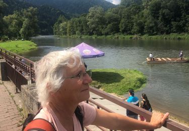
9.4 km | 14.3 km-effort
Le long du ruisseau
Alain CHARRAS
User
Length
6.4 km
Max alt
497 m
Uphill gradient
121 m
Km-Effort
8 km
Min alt
448 m
Downhill gradient
114 m
Boucle
Yes
Creation date :
2021-08-11 16:12:48.0
Updated on :
2021-08-12 08:30:54.783
1h26
Difficulty : Medium
FREE GPS app for hiking
About
Trail Walking of 6.4 km to be discovered at Lesser Poland Voivodeship, Nowy Targ County, Sromowce Niżne. This trail is proposed by Alain CHARRAS.
Description
Balade vespérale
Positioning
Country:
Poland
Region :
Lesser Poland Voivodeship
Department/Province :
Nowy Targ County
Municipality :
Sromowce Niżne
Location:
Unknown
Start:(Dec)
Start:(UTM)
456089 ; 5471334 (34U) N.
Comments
Trails nearby
Descente du dunavec
Hybrid bike
Easy
(1)
District of Kežmarok,
Region of Prešov,
Unknown,
Slovakia
55min
No